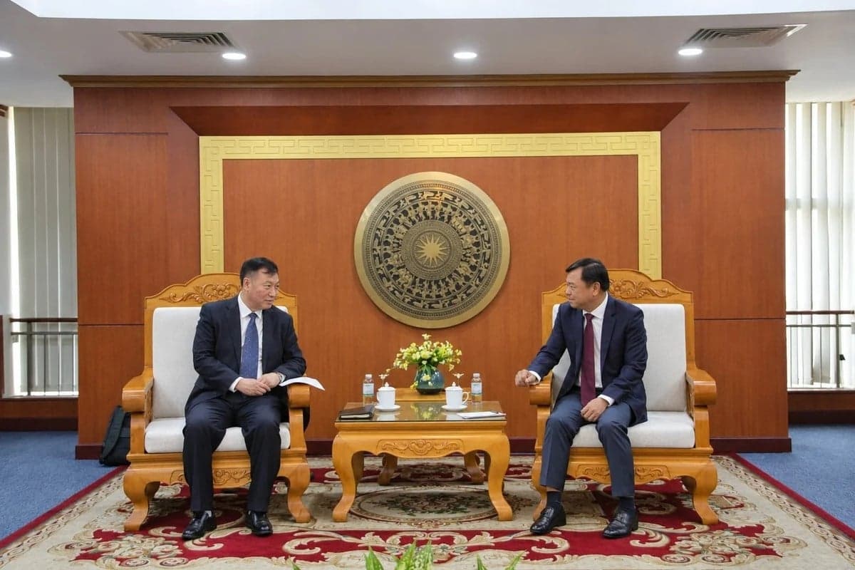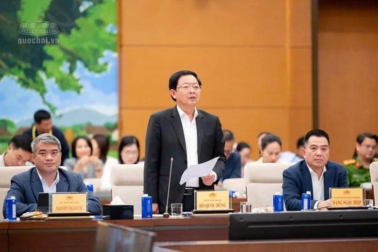

Many new technologies were introduced at the workshop "New Technologies Applied in Forecasting, Warning and Prevention of Natural Disasters," organized by the Ministry of Agriculture and Environment in collaboration with the Community Fund for Disaster Prevention on the afternoon of November 16th.
Shift your mindset from predicting phenomena to warning about impacts.
In recent years, natural disasters in Vietnam have continuously defied conventional patterns and caused severe damage. Recalling the directive of General Secretary and President To Lam on shifting strongly from forecasting phenomena to providing detailed impact warnings for each locality, Mr. Cao Duc Phat, Chairman of the Management Board of the Community Fund for Disaster Prevention, stated: In the past, the Community Fund for Disaster Prevention has piloted the application of digital technology platforms and artificial intelligence in several localities to measure and monitor rainfall, floods, and landslides in real time, and to concretize warning information for each community.
The Fund's leaders expect to work with scientists and management agencies to conduct a thorough assessment of the effectiveness in order to replicate the model, helping to improve the self-prevention and timely response capabilities of people in high-risk areas for natural disasters.

Mr. Cao Duc Phat, Chairman of the Management Board of the Community Fund for Disaster Prevention, speaks at the workshop. Photo: Trung Nguyen.
According to Deputy Minister of Agriculture and Environment Nguyen Hoang Hiep, in disaster prevention and control, the "prevention" phase plays a decisive role, and the core of prevention is accurate forecasting. Based on practical experience in disaster response management and evaluation of pilot digital transformation models at the local level, the Deputy Minister pointed out that the development of current technological platforms should avoid the "ambition to do everything" or placing the burden of daily manual data entry on commune-level officials, which is not feasible in the context of streamlining the administrative apparatus under the two-tier government model.
Instead of creating more separate software programs, the Deputy Minister requested that units integrate data from existing sources such as land databases, satellite imagery, drones, AI applications, and promote cooperation with technology companies to shift strongly from phenomenon forecasting to impact forecasting. Warning bulletins must reach the public as early as possible and help them make decisions to respond to specific situations.

Deputy Minister of Agriculture and Environment Nguyen Hoang Hiep emphasized the role of forecasting in disaster prevention and control. Photo: Trung Nguyen.
From the perspective of the forecasting agency, Mr. Nguyen Xuan Hien, Deputy Director of the National Center for Meteorological and Hydrological Forecasting (Department of Meteorology and Hydrology), shared that a weather forecast bulletin alone cannot automatically determine the timing of response. It requires a clear scientific basis to answer the question: When should action be taken, based on signals, time conditions, and authority?
To address this gap, the Department of Meteorology and Hydrology proposed a three-tiered architectural framework: hazard threshold, impact threshold, and trigger threshold. The operational process is built on five layers of data (hazard, exposure, response capacity, actual impact data, and decision/action). According to Mr. Hien, the same amount of rainfall can result in vastly different levels of risk, depending on the level of exposure and the response capacity of each area. Therefore, early warning systems are only truly effective when sufficient "golden time" is ensured to process information, transmit it, and deploy evacuation and response efforts on-site before a natural disaster occurs.
Multi-source data connectivity technology
At the workshop, many technological solutions are being piloted to concretize warnings at the local level and support the government in proactively making decisions. Introducing the model of applying digital technology in early warning and community-based disaster response in Ha Tinh, funded by the Community Disaster Prevention Fund, Mr. Bui Quang Huy, Deputy Director of the Center for Disaster Prevention and Control Policy and Technology (Department of Dyke Management and Disaster Prevention and Control), said that the Ha Tinh Provincial Disaster Monitoring System (HaTinh PDMS) is built synchronously on a web platform and mobile application.

Many technological solutions were introduced at the workshop. Photo: Trung Nguyen.
The system integrates meteorological and hydrological monitoring data, reservoir data, and direct feedback from the public without requiring an account. Information is transmitted to the provincial-level duty officer for guidance and management, and simultaneously connects with the Vietnam Disaster Monitoring System (VNDMS) at the central level. Through training for local officials and evacuation drills using digital maps in Cam Due commune, the model has initially helped to specifically identify affected residential areas, supporting the commune-level government in proactively responding to the situation in the larger area after the merger.
Also in Ha Tinh province, WeatherPlus Solutions Joint Stock Company introduced the HydroNet platform, which is being deployed in the Ngan Sau River basin (Ha Tinh). The system integrates rainfall data, water levels, and flood release scenarios from the Ho Ho - Ngan Truoi reservoir system with downstream flood maps and automatic flood warning towers in villages and hamlets. Thanks to this, the authorities can specifically identify areas at risk of flooding, the timing of flooding, and the depth of flooding to proactively plan response measures.
Highly appreciating the effectiveness of the practical implementation, Mr. Ho Duy Phiệt, Deputy Head of the Irrigation Sub-Department (Department of Agriculture and Environment of Ha Tinh province), said that the HaTinh PDMS and HydroNet systems have greatly supported disaster prevention and control in 69 communes and wards in the province. The automatic flood warning towers in the community are capable of activating sirens and warning lights even when the network connection is lost, helping people recognize the risk and proactively evacuate.

Delegates attending the workshop. Photo: Trung Nguyen.
Drawing on international experience, representatives from Weathernews Group (WNI-Japan) introduced a weather monitoring solution for remote areas using the Soratena IoT sensor network. The device is lightweight and capable of measuring seven meteorological elements at a frequency of one minute per measurement. According to WNI experts, AI models lacking field data can produce inaccurate forecasts, even missing extreme rainfall events. Therefore, data from ground sensors needs to be combined with radar and satellites to enhance reliability. This solution aims for forecasting based on a 1 km x 1 km microclimate grid, updated every 10 minutes, while also sending GPS-based alerts and developing evacuation plans tailored to each household.
From the perspective of studying natural disasters in mountainous areas, Assoc. Prof. Dr. Do Minh Duc (Institute of Geotechnology and Environment, Faculty of Science - Vietnam National University, Hanoi) shared that InSAR remote sensing technology, combined with monitoring stations, helps track land surface movement over many years. The research team has developed a landslide information portal (truotlo.com) and the Vietnam Landslides application, capable of updating warnings every 20 minutes, providing detailed information down to the village, hamlet, and mountain pass route.
The frank and substantive discussions at the workshop focused on connecting modern scientific and technological knowledge with the practical management of disaster prevention and control in Vietnam. Delegates recommended improving the common disaster prevention and control database framework, issuing economic and technical standards, and establishing a mechanism for "ordering" services from businesses to ensure the long-term operation of proven technological infrastructure, avoiding the situation where research is completed but then abandoned. Simultaneously, they emphasized linking impact forecasting with early action and promoting the proactive role of the community.