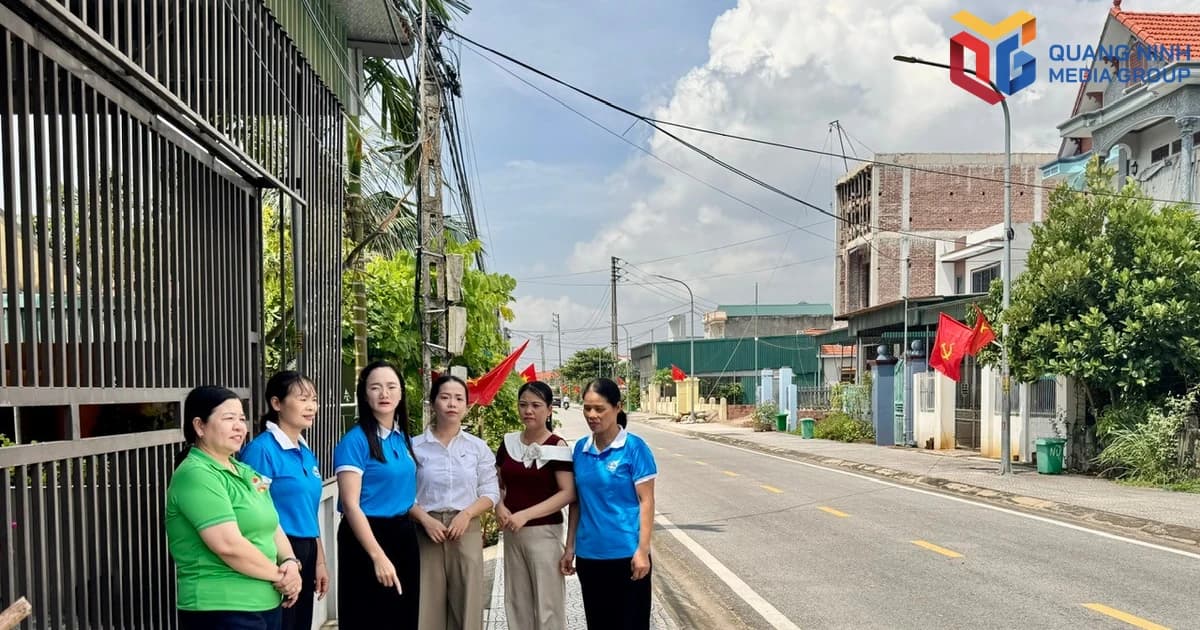


Working groups in Dong Trieu ward are focusing on reviewing, collecting, and standardizing information on land users. (Photo provided by the unit)
In the city, there are over 1.9 million land parcels requiring database construction. As of September 30th, the entire city had completed database construction for 1.44 million parcels (75%), of which over 1.1 million parcels in Group 1 had been successfully synchronized with the system (60%). This result shows that the workload has been accelerated by units and localities in recent times. However, the remaining data is concentrated in more complex file groups, requiring specific review of each case and each land parcel. According to statistics, there are currently about 486,000 land parcels without data.
In practice, the current difficulties lie not only in data entry. Many cases involve certificates that have not been digitized; scanned files are missing information fields; some land parcels have not been located on the cadastral map; and data from different survey periods is inconsistent. In some cases, there are discrepancies in boundaries and area between records and the current situation. These are also factors affecting the city's overall progress. Therefore, to complete the remaining work, localities must simultaneously mobilize local authorities, land registration agencies, consulting firms, and contractors to process each group of files.

In Hoanh Bo ward, there are 20,519 land parcels requiring database construction. As of September 30th, over 14,200 parcels (69%) have had their databases built, of which nearly 11,000 have been cleaned and moved to group 1. Approximately 6,300 parcels still need database construction.
Instead of a uniform deployment, Hoành Bồ categorized each plot into groups, clearly defining the responsibilities of the local authorities, the construction unit, and the land registration agency. For the 1,166 plots of land managed by the ward People's Committee that lacked database construction but had complete documentation, the ward requested VNPT to focus on construction and move them to Group 1. For plots with missing information, a list was compiled and sent to the ward for review and supplementation. For plots without land use certificates, the local authorities proactively completed the necessary forms and confirmations to include them in the database construction process.

In Ha Lam ward, the implementation was organized in a localized manner, reviewing each group of land parcels. Out of a total of 16,173 land parcels according to the 2017 cadastral map, the ward has processed 13,557 parcels, leaving 2,616 parcels requiring data construction. Of these, 1,146 parcels have not yet been issued land use right certificates, while the rest have been issued certificates but have not completed scanning, data verification, or fall under other cases requiring processing.
Ms. Luu Hai Yen, Vice Chairwoman of Ha Lam Ward, stated: "The ward's direct responsibility is to review, collect documents, and upload 1,146 land parcels identified as lacking land use right certificates to the system. As of September 30th, the ward has collected complete documents and successfully updated over 900 land parcels to the digital system. For the remaining 142 land parcels without data on the system's map, the ward has clearly identified their coordinates and coordinated with the city's specialized surveying unit to complete the surveying and aerial photography. Simultaneously, the ward has invited representatives from 90 of these 142 land parcels to complete the ownership procedures, sign boundary demarcation records, and create a legal basis for further public disclosure of information and implementation of subsequent steps."
The approach taken in these two localities shows that when the volume of data moves to the in-depth processing stage, classifying records, clearly defining responsibilities, and closely monitoring each area are crucial for overall progress. From land parcels with complete documentation to those lacking information, not yet issued certificates, or whose locations are not fully identified, each group requires a specific processing plan instead of simply focusing on the quantity of updated data.
The city is clearly assigning responsibilities to each agency, locality, and contractor, while also updating and monitoring progress daily. Communes, wards, and special zones are focusing on completing dossiers, issuing certificates, checking, and supplementing data; technology units are increasing manpower and accelerating the cleaning and synchronization of missing data.
The focus in October is on resolving outstanding issues with land parcels, ensuring data is checked, verified, and cleaned before synchronization; by November 30th, at least 80% of land data eligible for synchronization with the National Data Center will be standardized, verified, and cleaned. The city aims to complete the construction of a database for 1,946,090 land parcels with existing land data by the end of 2026, synchronized with the National Data Center.
Source: https://baoquangninh.vn/day-nhanh-tien-do-hoan-thien-co-so-du-lieu-dat-dai-post3422151.html