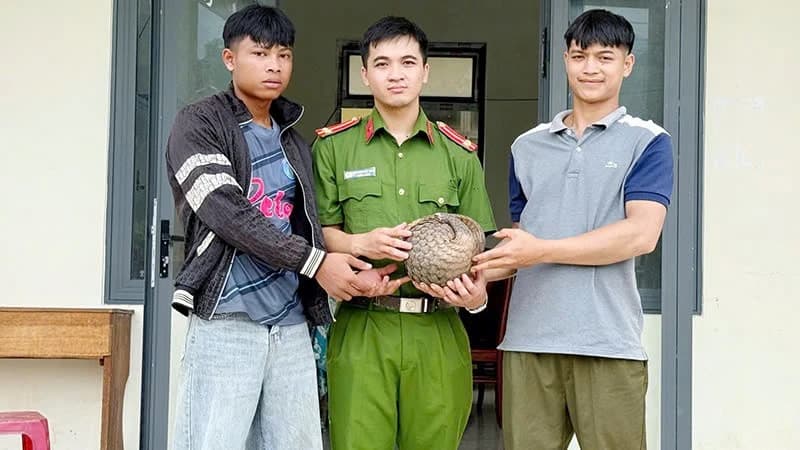

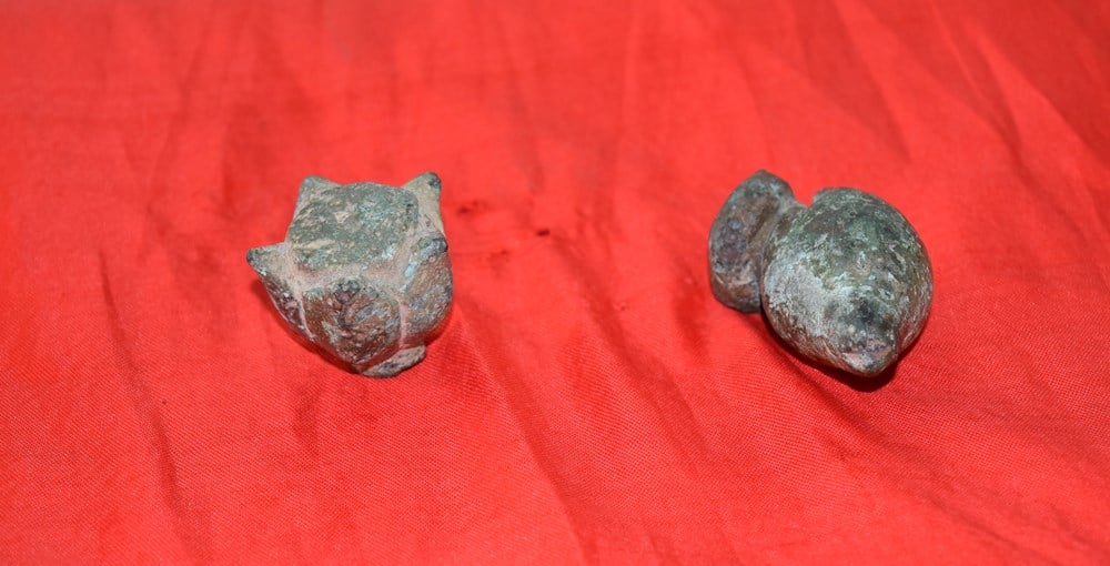
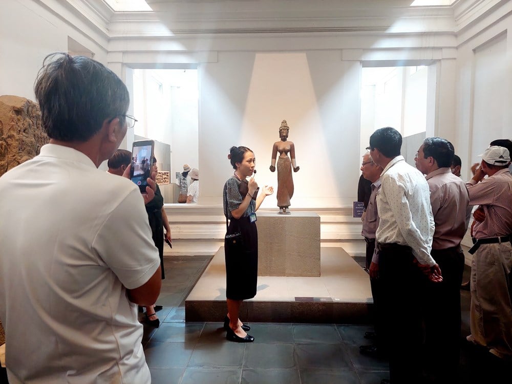
The restoration of the lotus and conch shell artifacts for the Tara Bodhisattva statue in November 2025, after their transfer to the Da Nang Cham Sculpture Museum, prompts reflection for Dong Duong: each part of the heritage returning to its proper connection helps us better understand a fragmented whole.
The national scientific conference on Dong Duong Buddhist Monastery, scheduled for mid-May 2026, continues to emphasize the need for research, preservation, and promotion of the site's value on a scientific basis. Cooperation with India in conservation also opens up possibilities for mobilizing expertise. Given this opportunity, Dong Duong needs a comprehensive strategy for preservation and promotion, rather than short-term, piecemeal solutions.
Place the ruins within the broader landscape.
Architect and researcher Le Tri Cong proposed a model for the Dong Duong National Archaeological Park with three zones: a protected core of approximately 12 hectares, a corridor connecting satellite sites, and an ecological buffer zone of approximately 500 hectares. The 500-hectare area falls under the proposed buffer zone; the specific boundaries need to be further determined based on surveys and planning documents.
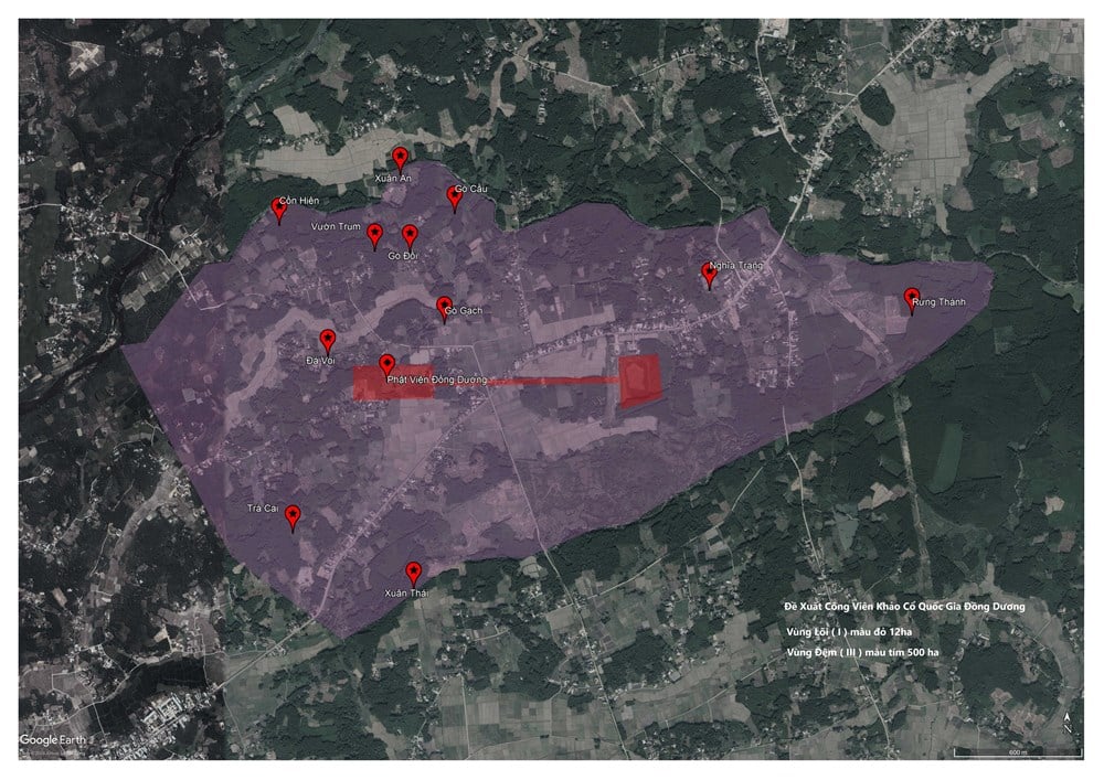
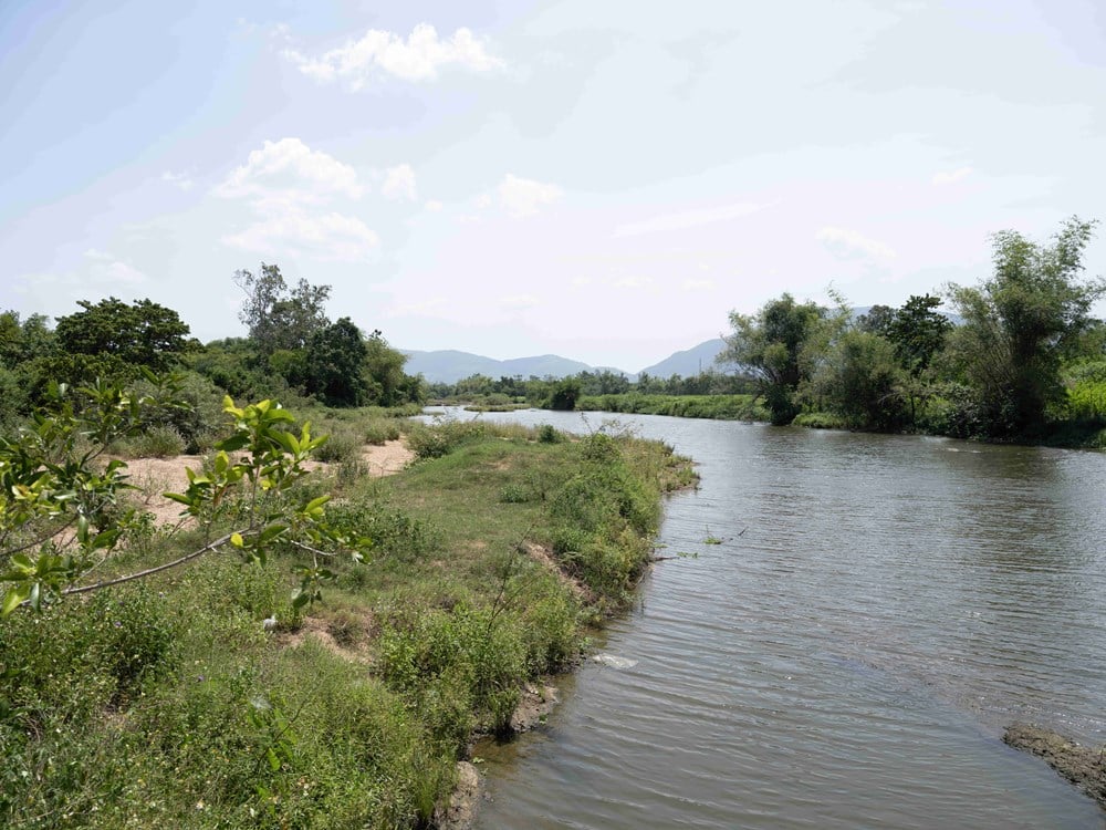
This approach places the Buddhist monastery in relation to the historical mounds, access routes, and water network. The proposal suggests that the buffer zone should take into account the Ly Ly River, Tra Cai Mountain, and the stream system around Dong Duong. This represents a vision for managing a broad landscape, where each area has different protection and usage requirements, not meaning the entire area must be cleared or all resident activities prohibited.
Simultaneously, the issue of spatial transformation at Dong Duong is raised, particularly the way the approach axis and architectural layers organize the journey into the sacred center. This interpretation suggests a practical requirement: preservation must maintain the ability to recognize the relationship between the gate, courtyard, temple, and landscape.
Interpretations regarding the origins of Hinduism, the protective maṇḍala, or the meaning of kingship need to be further examined through comparison with architecture, archaeology, and inscriptions.
Therefore, tour routes, service roads, and supporting facilities must be designed based on a comprehensive survey. A convenient route for operation may compromise the ability to interpret the historical space. Unexcavated areas also need to be protected so that future generations have the opportunity to supplement or adjust today's understanding.
Saving the Tower of Light by understanding the structure itself.
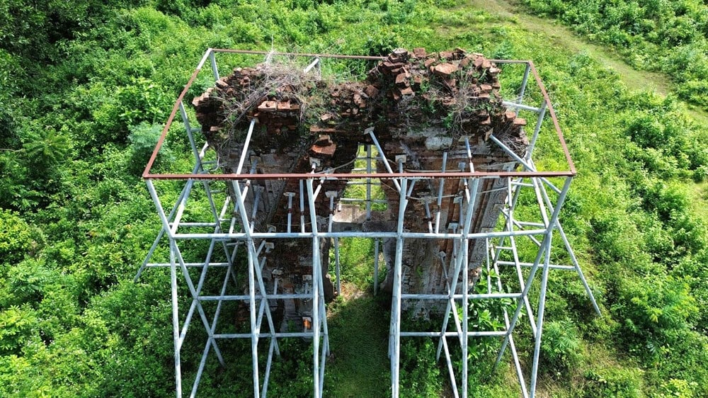
According to architect Le Tri Cong, the immediate priority is to assess the safety and stability of the remaining architectural structure of the Bright Tower. Conservation documents need to record deformation, cracks, the condition of the foundation and support system; and monitor rainwater, humidity, peeling, and the impact of vegetation.
Emergency response needs to be implemented promptly, but each intervention requires documentation for later effectiveness verification.
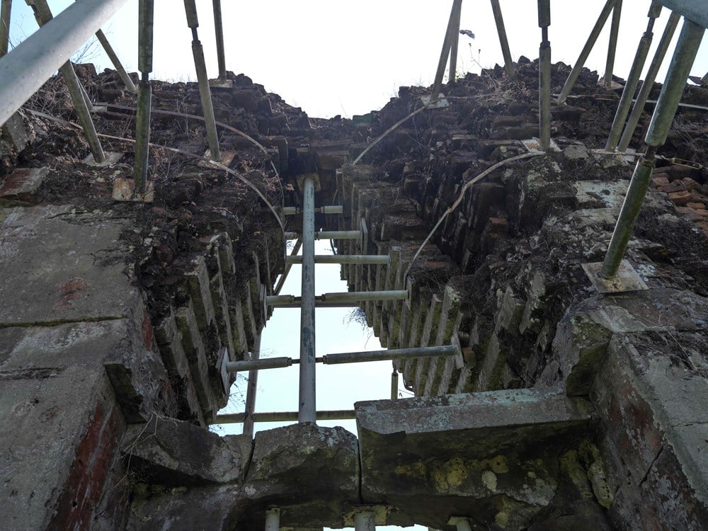
The risk of salt crystallization is a matter that needs to be investigated. In porous materials, water can transport dissolved salts; when humidity conditions change, crystallization can cause damage. However, the degree of porosity, water absorption rate, drying ability, and salt content of Dong Duong bricks must be determined using appropriate samples and measurements. A general description of Champa bricks cannot be used as a specific diagnosis for Thap Sang.
Resin, bời lời (a type of tree), or the technique of grinding and joining bricks are interesting research areas that need to be compared with traces of materials and techniques at the site. The selection of binders, supplementary bricks, or reinforcement solutions must undergo compatibility testing. The deciding criteria should be the impact on the ancient masonry, the ability to monitor and maintain it, rather than just the traditional or modern origin of the materials.
Preservation of ruins also requires a distinction between reinforcing and reassembling original components with sufficient justification and constructing a new form that is still highly speculative. Necessary additions must be limited, identifiable, and documented. Dismantling should be prioritized when feasible; with irreversible disposal, long-term impacts must be assessed and obstacles to future preservation efforts avoided.
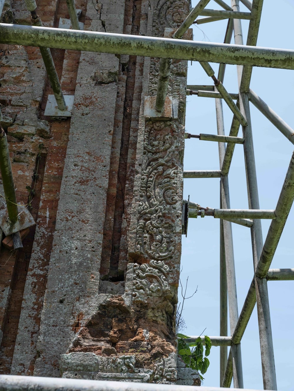
Laser scanning and topographic imaging can record the current state, support the tracking of changes, and link structural elements to archaeological records. Based on this data, digital modeling and augmented reality help viewers visualize the lost architecture. Each reconstruction needs to indicate its basis: whether traces remain in situ, are recorded in old documents, or are new hypotheses to be considered.
When multiple interpretations exist, numerical models can allow viewers to switch between options. This is particularly useful for issues still under investigation, such as roof morphology, the function of each area, and the placement of religious statues.
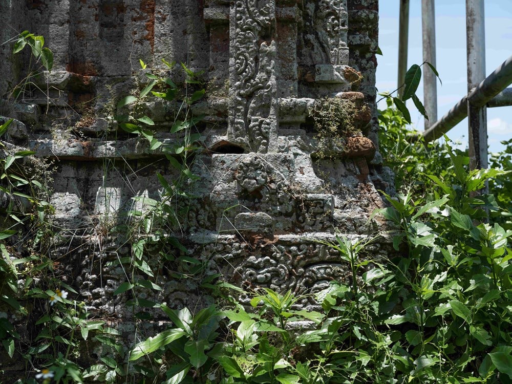
Interpretation equipment, including light projection systems, still requires assessment of installation location, power supply, and the impact of visitor activity. Auxiliary structures should be located in less sensitive areas, of appropriate scale, and easily dismantled. Wood or bamboo also require supports, anchors, and access roads; lightweight designs are only meaningful for conservation purposes when impacts on the ground have been controlled.
Protecting historical sites and the rights of residents.
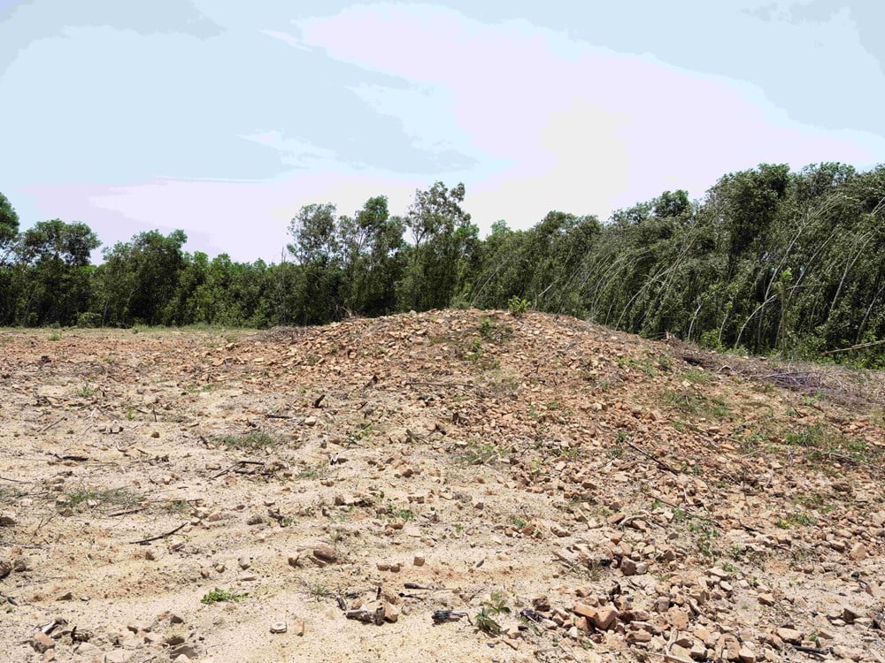
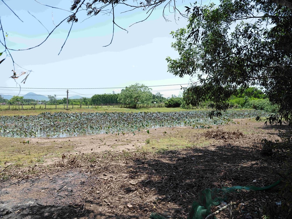
Residential land, agricultural land, and the family memories of the inhabitants are present within the archaeological space. Therefore, planning needs to clearly define areas requiring strict protection, areas where living can be maintained, and suitable locations for services. Zoning must follow the distribution of relics and site conditions, avoiding the imposition of concentric circles on a complex landscape.
For each affected household, it is necessary to clarify land use restrictions, support plans, and livelihood opportunities. Priority should be given to minimizing relocation; if absolutely necessary, a plan that is consistent with the legitimate rights and living conditions of the people must be in place. Commitments to benefiting from tourism in the future cannot replace obligations that must be fulfilled immediately when land use rights or livelihoods are impacted.
Architect Le Tri Cong suggested two tools: Transfer of Development Rights (TDR) and the model of land management for the benefit of the community (Community Heritage Land Fund - CLT). These are worthwhile areas to research, but the conditions for their application need to be clarified.
TDR requires a mechanism for establishing and trading development rights, with appropriate recipients in terms of infrastructure and a system for monitoring conservation interests. It should not be assumed that this mechanism will automatically cover all costs or eliminate the pressure to build.
With the CLT model, the focus is on land management mechanisms that serve the long-term interests of the community. When considering the Dong Duong area, it is necessary to clearly define the management organization, the rights of the parties involved, and how to ensure that common goal is achieved. In the specific context of Vietnam, all options related to land use rights must undergo legal review before implementation.
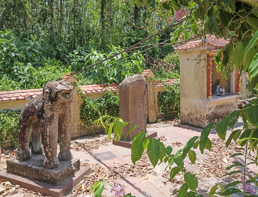
One thing that can be prepared early is a mechanism for residents to participate in service management, receive compensation for protection, and monitor the revenue and expenditure allocated for conservation. The establishment of community organizations or cooperatives should be considered based on actual needs and relevant regulations. The right of residents to participate must be reflected in the information they have access to, the decisions they can contribute to, and the benefits they actually receive.
Architect Le Tri Cong cited the story of restoring the two sacred objects of the Tara statue as an example, highlighting the role of the people in the process of protecting artifacts, while also mentioning the obstacles that once existed between the community and the management agencies.
A thorough record of that history helps build trust. Memories of the discovery site, routes, bodies of water, or lost structures need to be documented with the narrator's consent and cross-referenced with other sources.
Participatory archaeology can begin with specific tasks: assisting in documenting the current state of affairs, reporting potential damage, guiding visitors, and participating in heritage education activities. Trained individuals can undertake appropriate technical tasks under professional guidance.
Excavation, chemical treatment, or direct intervention with artifacts still requires personnel with clear competence and responsibility.
A slow-paced tourism approach aligns with the desire to create a space for learning and contemplation. The route should avoid weak foundations, have safe setbacks, and a well-distributed stopping point; the number of visitors should be adjusted according to actual carrying capacity. If the circumambulation ritual is interpreted as clockwise, the religious basis and level of evidence at Dong Duong should be clearly stated.
The conservation roadmap should begin with rescue and documentation, followed by surveys to define the scope, testing solutions, and then expanding tourism activities. Each step requires operational funding and measurable results: more stable traces, more complete data, and more genuine local participation.
Dong Duong has the potential to become a living heritage space when the remaining parts are preserved, the unknown aspects are further researched, and the people have the opportunity to maintain a long-term connection with the place where they live.
A living heritage model
Suggestions for a comprehensive planning approach for Dong Duong were also among the key issues discussed quite actively at the scientific conference "Research on the Preservation and Promotion of the Cultural Heritage Values of Dong Duong Buddhist Monastery" held in Da Nang city in mid-May.
At the aforementioned workshop, many experts also suggested the urgent need to develop a comprehensive, long-term master plan for Dong Duong.
Particular emphasis was placed on the need to rethink the approach when formulating planning tasks, to define the overall planning space and orientation; and to consider solutions involving the application of science and technology, and the development of digital databases… in the restoration and recreation of the Dong Duong Buddhist Monastery to preserve and promote this unique cultural heritage in the digital environment.
The revival of the Dong Duong Buddhist monastery lies not in attempting to rebuild a lost monumental structure, but in the process of healing the material and social rifts.
By limiting the "brutal" intervention of modern materials, preserving heritage based on knowledge of ancient materials science and digital heritage technology, using spatial economics to resolve livelihood conflicts, and using digital technology to awaken historical layers without touching the past, the three groups of measures proposed by architect Le Tri Cong converge towards a common goal: a model of "authentic living heritage."
“Only when every lightweight, porous brick, every strip of cultivated land, and the very breath of the indigenous community are harmoniously integrated into a multidisciplinary conservation strategy will the Dong Duong ruins truly shine again, continuing to resonate with the sounds of life and the Dharma, like the sacred conch shell in the hand of Bodhisattva Tara echoing from ancient times,” shared architect Le Tri Cong.
Source: https://baovanhoa.vn/van-hoa/bao-ton-phat-vien-dong-duong-trong-khong-gian-di-san-song-271825.html